Almost since I first arrived in the great state of Alaska over thirty years ago, I have wanted to travel the ‘Haul Road’ or as it is now known, the James Dalton Highway. Built in just five months in 1974-75, the 415-mile-long road was needed to support construction of the 800 mile long Trans-Alaska Pipeline, and to ‘haul’ supplies and equipment to Prudhoe Bay. Oil was first discovered in Prudhoe Bay in 1969, and with the country facing an energy crisis, the rush was on to build the road and the pipeline. The construction was handled like a wartime project, and workers had to endure extreme conditions including the flow of the Yukon River, permafrost, numerous mountain passes, extreme temperatures both hot and cold, and mosquitoes by the billions!
The road wasn’t always open to the public. Only commercial traffic in support of the oil fields travelled the road in the early days. In 1981, the oil companies turned the road over to the state of Alaska, but traffic was still restricted beyond Disaster Creek, at milepost (MP) 211. Then in 1994, the state allowed the public access to the entire length of the road all the way to Deadhorse.
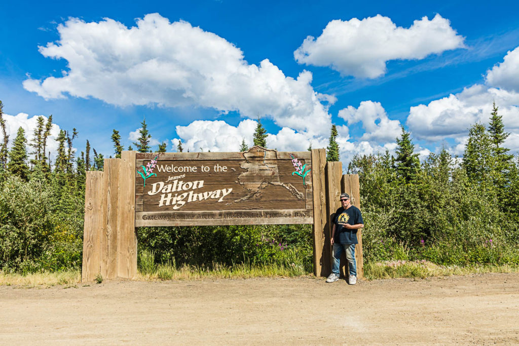
In the Beginning, start of the James Dalton Highway
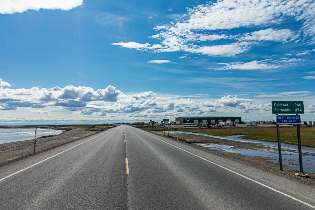
Being that this was my 30th anniversary of living in Alaska, I felt that this was the year to finally travel this highway. Planning began in April. I knew that I needed to allow at least ten days for this trip, and I also knew that unlike other road trips I have taken in the past, this one was different and needed more planning. The Dalton Highway travels through some of the most remote stretches of land found in Alaska. There are few gas stations on the road, and even fewer places to get supplies. The stretch between Coldfoot and Deadhorse is 240 miles. There are no services of any kind available to travelers on this stretch of road. You must be fully prepared and self-sufficient. It is highly advisable you have sufficient fuel, a vehicle in good working condition and two spare tires on rims! Plenty of food and survival gear is highly recommended. Snow can be present at any time of the year, especially on the North Slope. Best words of advice: Be prepared and expect the unexpected!
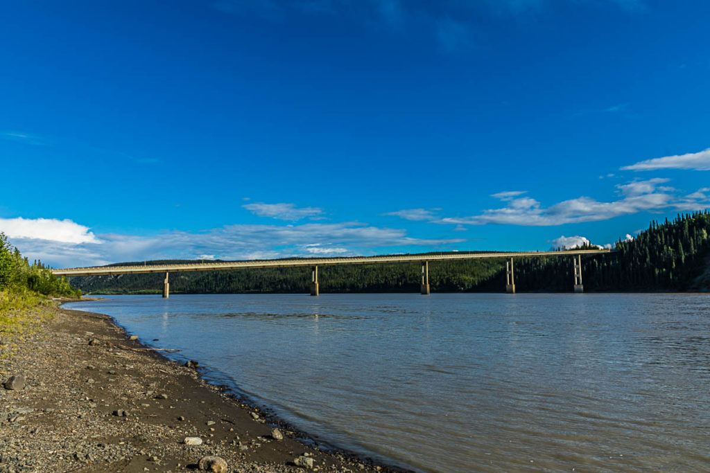
Yukon River Crossing
My roommate and I left Anchorage on the afternoon of July 1, 2021 and stayed at a campground near Clear Space Force Station the first night. We woke up to reports of wildfire smoke and haze in Fairbanks, and we started to smell it just before we got to Nenana. By the time we got to Fairbanks, it was pretty thick. We got gas in Fox, and got on the Elliott Highway, which takes you to Livengood, where you first catch the Dalton Highway. The first 20 miles of the Dalton gives you a good taste of what’s to come; steep hills, curvy roads, and bumpy gravel. The Alaska DOT treats the gravel part of the road with water and at times calcium chloride.
At MP 56, we arrived at the Yukon River, where the state’s only road crossing of the Yukon is located. The bridge is nearly a half-mile long and is, like most bridges on the Dalton, a wood-decked bridge. At the north end of the bridge is the Yukon River Camp and a visitor center. It is also one of only three places to get fuel and drinking water, so one should stock up on both.
Just five miles beyond the bridge is Five Mile Campground, an old pipeline construction camp, and where we stayed our second night.
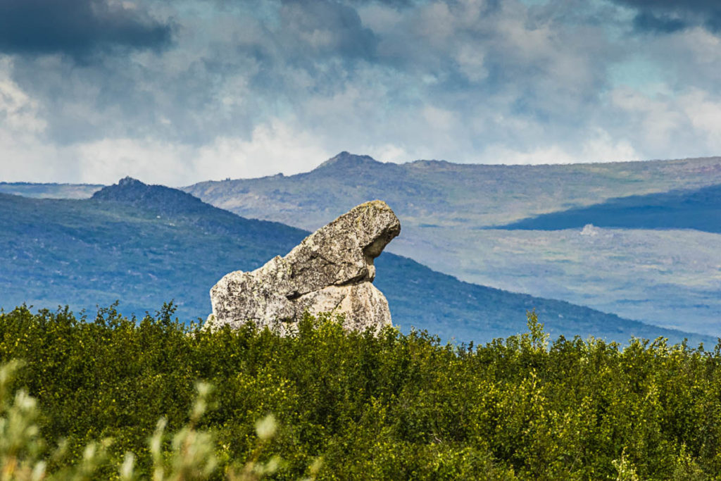
Finger Mountain
Continuing on our adventure, we headed north out of Five Mile Campground. The rolling hills started to feature something else: tors. Tors are high, isolated pinnacles of jointed granite jutting up from the tundra and are residual of erosion. They date back to the cretaceous period nearly 110 million years ago. There are many in this area, but the most famous of these is Finger Mountain. Like a giant finger, it pointed the way to Fairbanks for early pilots.
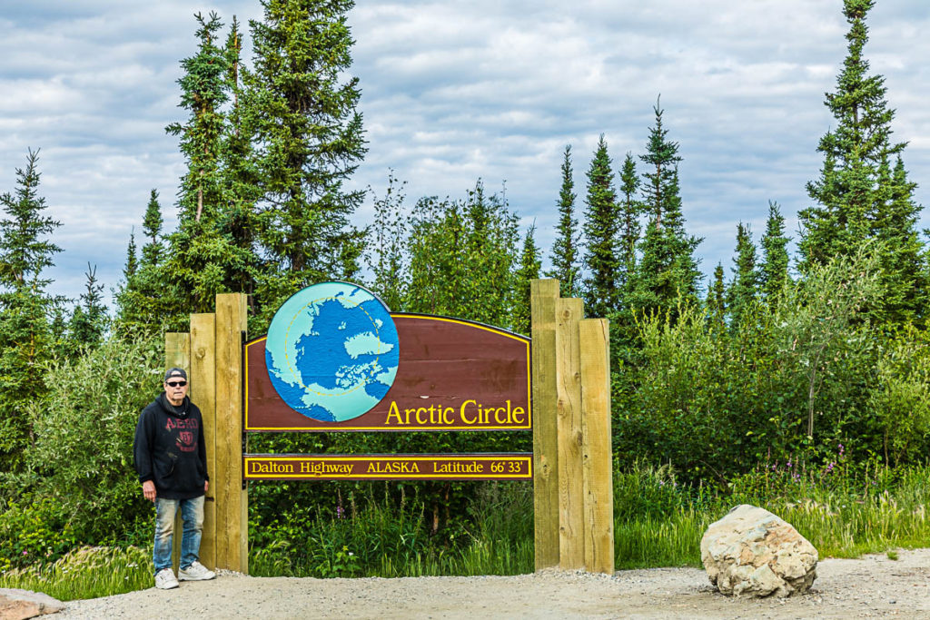
Arctic Circle
At MP 115, we came to the spot where the highway crosses the Arctic Circle, the only highway crossing of the Arctic Circle in Alaska. It is a must-stop for travelers, and a good place to take a ‘selfie’. An arctic ground squirrel was very photogenic as well, running back and forth on the deck railing.
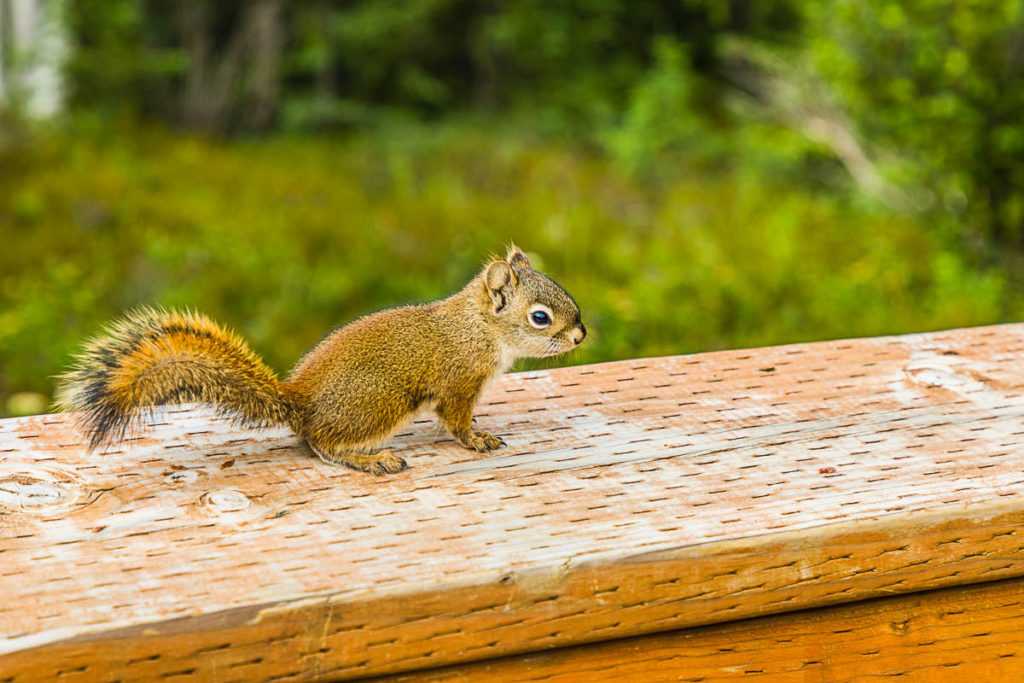
Photogenic Arctic Ground Squirrel
Where Road Crews met, one of many such sites
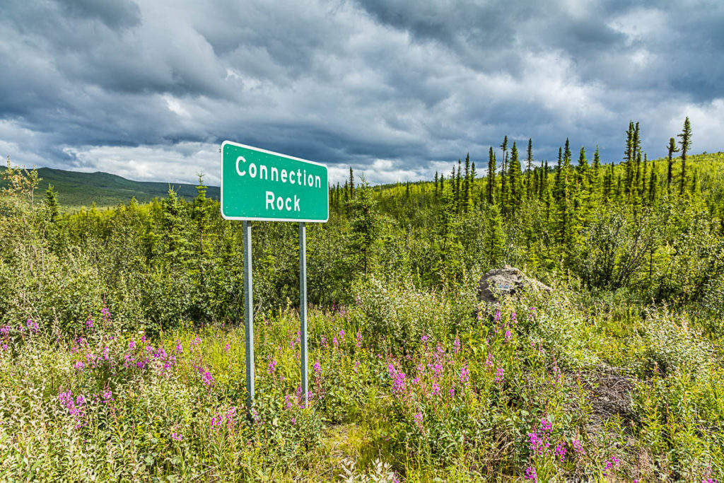
During construction of the road, there were several locations where crews working from the south met up with crews working from the north. One such location, Connection Rock, can be found at MP 120 and is memorialized with a plaque.
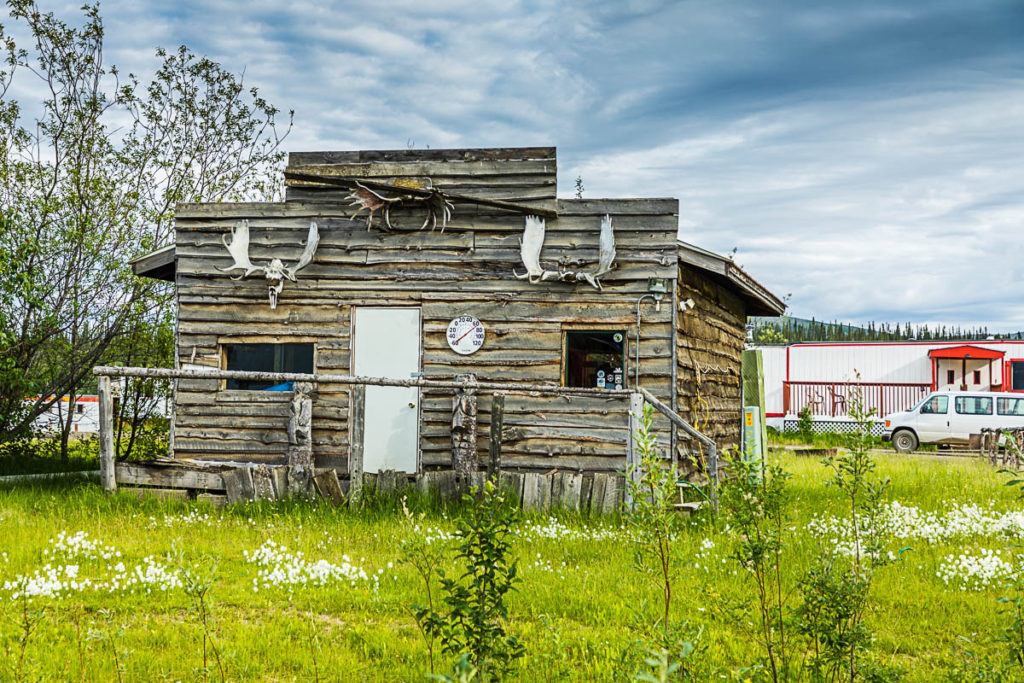
Old Structure in Coldfoot
Part of my planning revolved around meeting up with my friends Cathy and Eric in Coldfoot on the night of July 3, 2021. They were returning from a two-week float trip down the Noatak River, in the northwestern region of Alaska. We camped together in Marion Creek Campground, just north of Coldfoot.
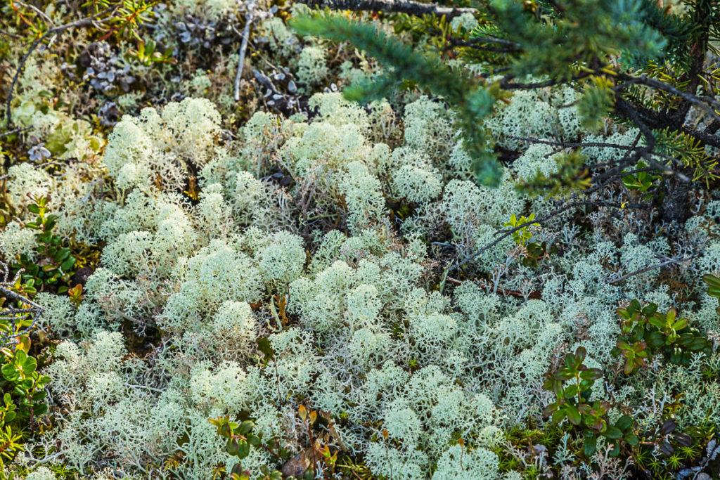
Lichen at Marion Creek Campground
The following day, the 4th of July, we took a small detour to Wiseman. After a brief stop there, we continued our trip north.
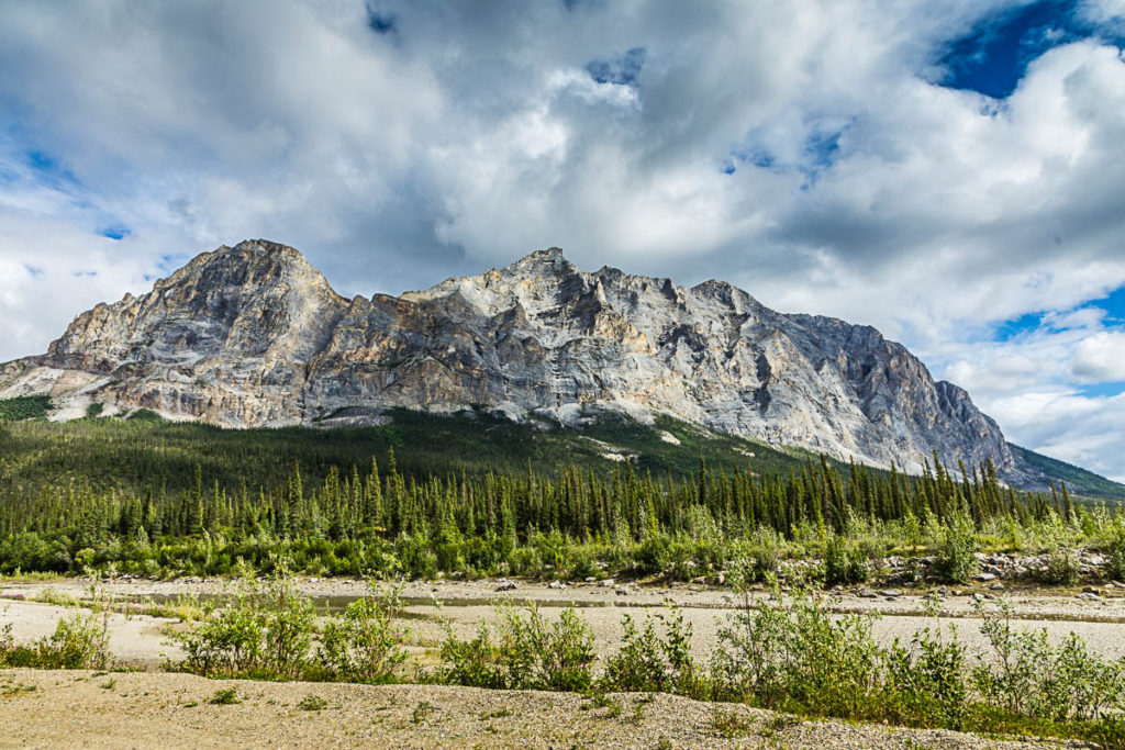
Sukakpak Mountain
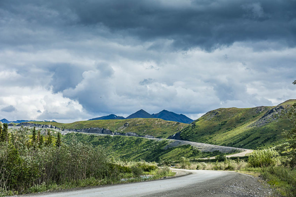
The climb to Chandalar Shelf and Atigun Pass begins
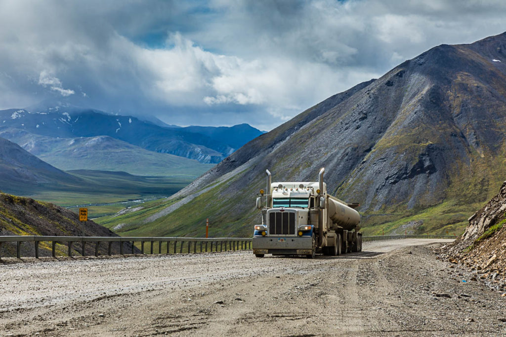
A fuel truck ascending Atigun Pass
After enjoying paved road for the last 30 miles (about 25 percent of the road is paved), the road returned to gravel and now we left the ‘lowlands’ and began the steep climb to Atigun Pass. At 4,800 feet, it is the highest road pass in Alaska. It is best to make sure you are out of the way of truckers as they need every bit of momentum they can get to climb the nearly 12 percent grade.
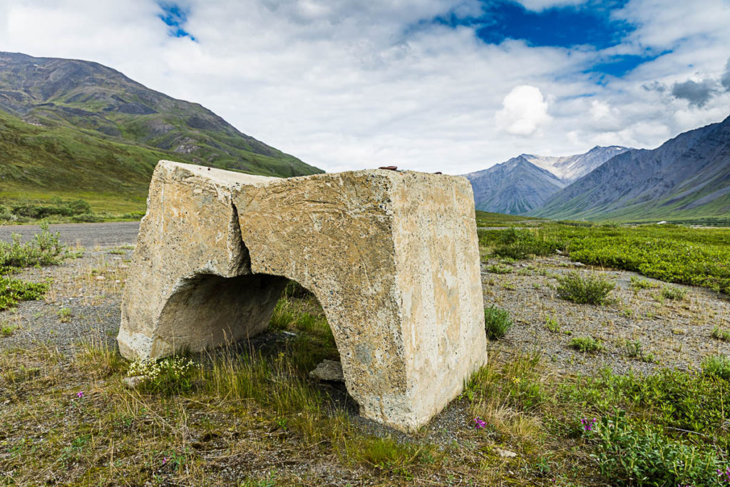
Cracked Saddleweight
Saddleweights are used to keep the pipeline buried in places where they may be susceptible from flooding. This old, cracked one was seen near the top of Atigun Pass.
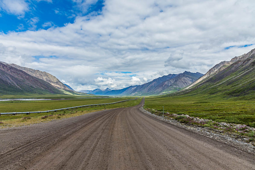
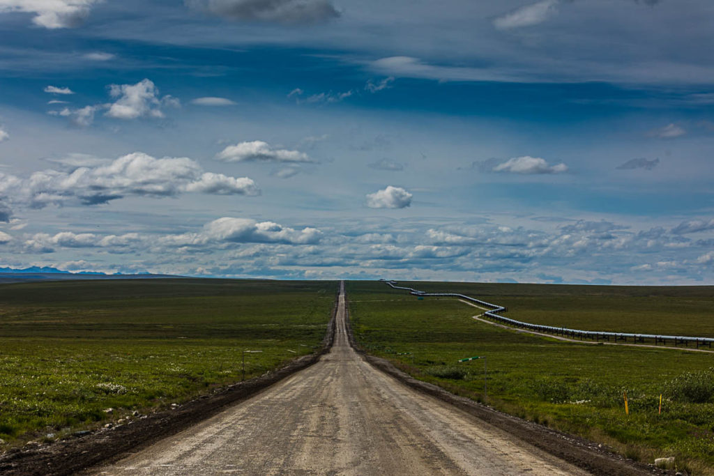
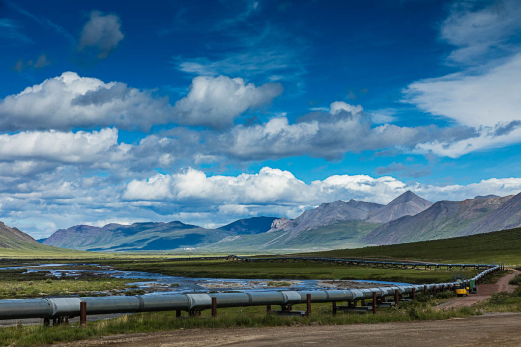
Dalton Highway parallels the Pipeline
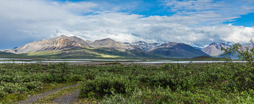
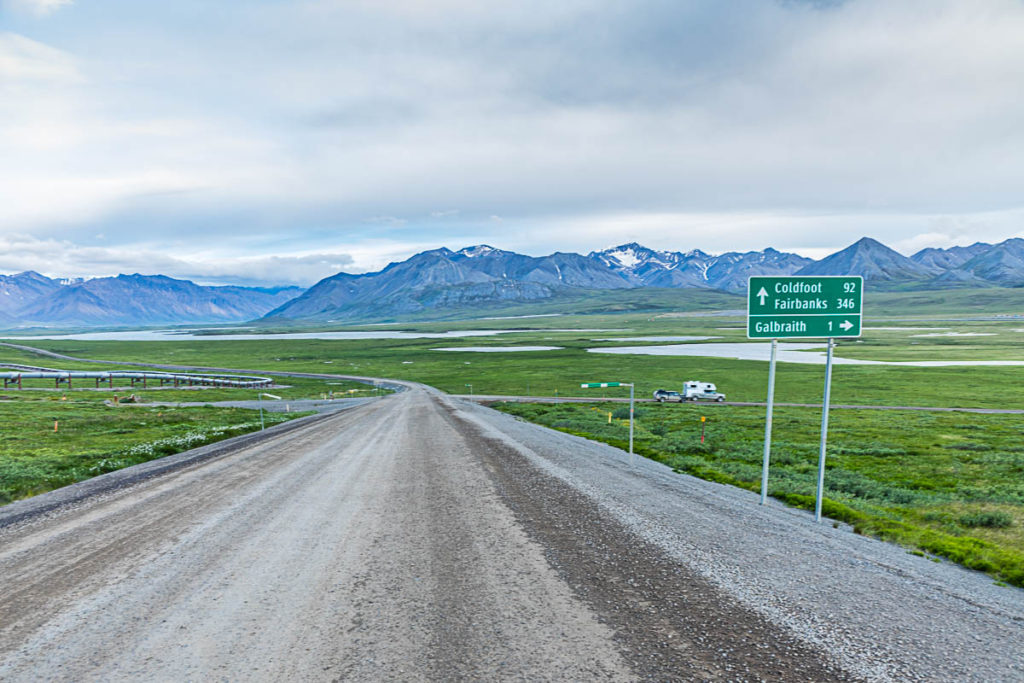
After crossing the Brooks Range, one can find gorgeous scenery, such as this area leading to Galbraith Lake. A beautiful campground awaits near the lake. We spent our fourth night there.
Galbraith Lake and Pump Station #4
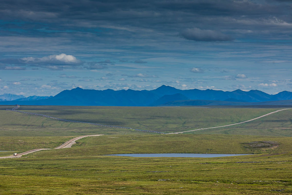
We left Galbraith Lake shortly before noon, and had some more steep grades to climb. One of those was Ice Cut, and the water truck had just wet the road going up the hill. It was a little tricky climbing it in my truck, so I switched to four-wheel drive. While we had been traveling primarily north, the road makes a sharp turn to the east, and we travel in that direction until we get near the Sagavanirktok River (or Sag River for short). We will travel along this river the rest of the way into Deadhorse.
What a Desolate Place This Is – C3PO
From the above photo, you can see just how remote the area is, and as I viewed the landscape from here, the line in the movie Star Wars came to mind, where C3PO makes an early observation on Tatooine.
The road continues
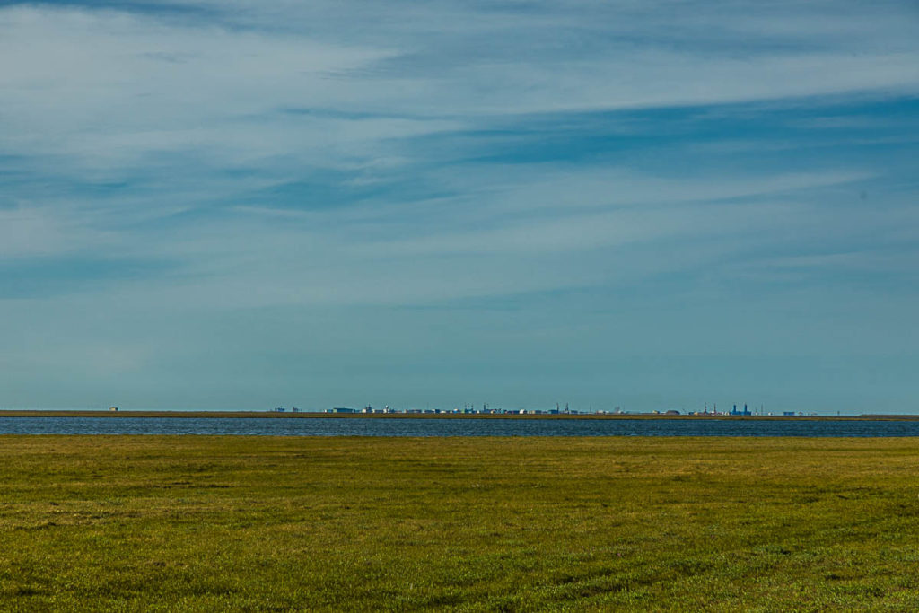
First view of Deadhorse/Prudhoe Bay
But eventually, we arrived at our destination: Deadhorse, also known as Prudhoe Bay. Deadhorse was everything I expected; it is primarily an industrial work camp. There are very few permanent residents living there.
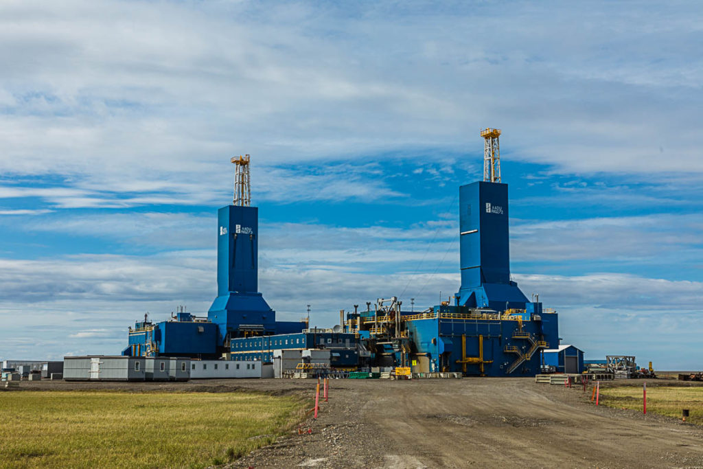
Drilling rigs on standby
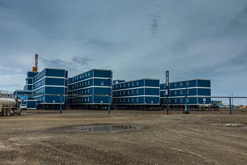
Modular buildings

At the end of the Dalton Highway; Deadhorse/Prudhoe Bay
Another obligatory ‘selfie’ stop is the sign signifying the ‘End of the Road’.
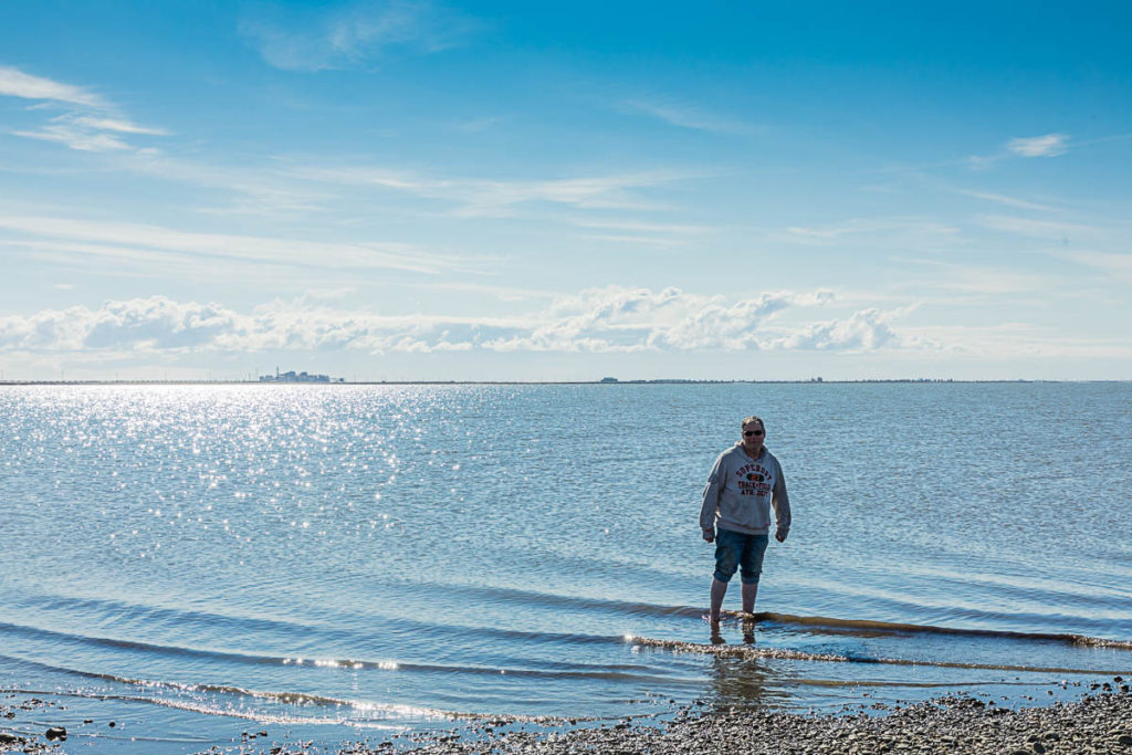
Dipping my toes in the Arctic Ocean, another bucket list item
After driving all that way, one has to go the final eight miles to see the Arctic Ocean. Private vehicles are not allowed to drive onto oil field property, so you must be part of a scheduled and authorized tour.
Beginning the trip home, looking south
And so the trip back begins. Now preparing to head back south.
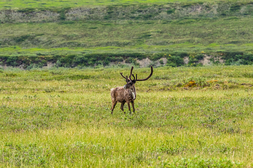
‘Hartford’ caribou
This caribou would run for a bit, then stop and look at me. It reminded me of the old Hartford Insurance commercials, or more recently, the elk sculpture in the James Bond film: ‘Skyfall’.
Turnoff to Galbraith Lake
I couldn’t resist camping again at Galbraith Lake.
View of pipeline south of Pump Station #4
Looking back, pipeline and Pump Station #4, along the shore of the Atigun River.
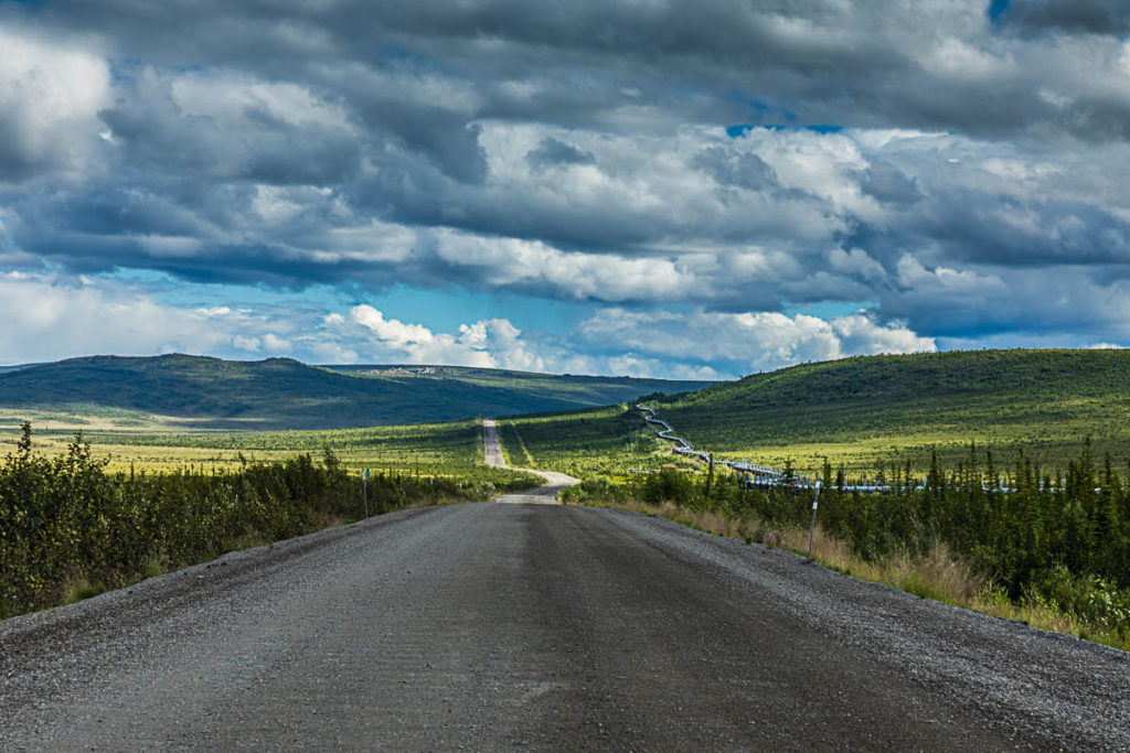
Highway, Pipeline and distant tors
It is worth driving this road at least once in your lifetime, and I highly recommend doing so. But it takes some thought and preparation before you embark on this journey. A great resource and one that I used extensively was The MILEPOST, an annual guide that gives a mile by mile accounting of all roads in and leading to Alaska. Get yourself a copy before planning this trip. One thing to keep in mind is that state law demands that all above-ground traces of the pipeline be removed once oil extraction is finished, and this includes the pump stations. I’m not sure what might become of Deadhorse once that happens, and it could be anywhere from a few years to several decades before it happens, but it will happen at some point.
-Story and photography written and copyrighted by Alan D. Musy
Awesome story. Sounds like an adventure!